


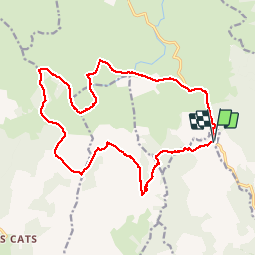


17.1 km | 22 km-effort


User


FREE GPS app for hiking
 SityTrail
IGN / Geographical institutes
SityTrail World
The world is yours!
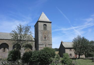
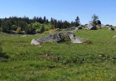
Trail Walking of 21 km to be discovered at Occitania, Lozère, Les Hermaux. This trail is proposed by gourdon.
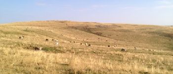
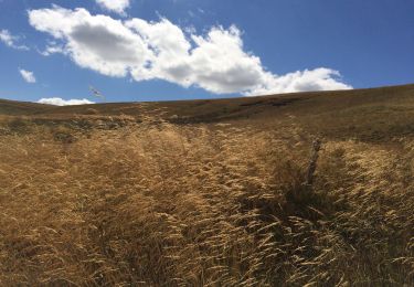
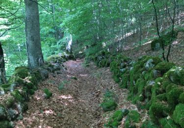
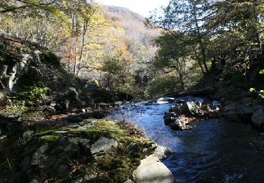
circuit de 21km superbe en boucle au départ du col de Bonnecombe en passant par le signal de Mailhebiau (plus haut sommet de l'Aubrac).Le chemin peut varier en fonction de la position des troupeaux.


Walking

Walking
Walking
Walking
Walking
Equestrian

Walking
Walking